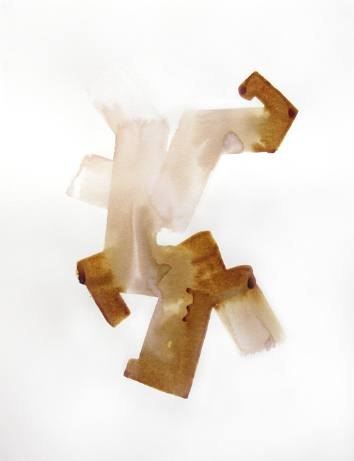


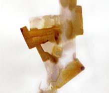


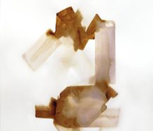

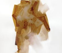
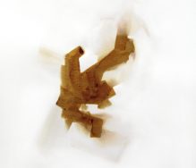
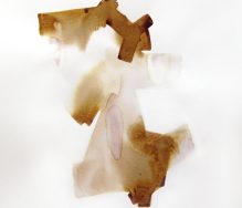
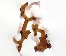
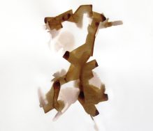

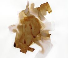
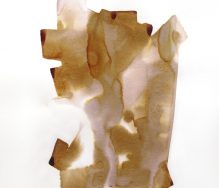


Iodine drawings,cotton paper. 50 x 65 cm
Iodine drawings,cotton paper. 50 x 65 cm
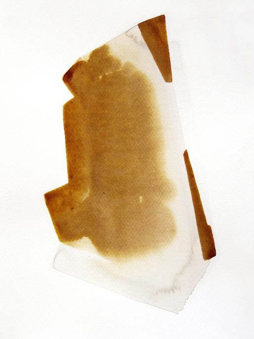
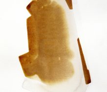


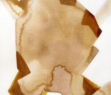

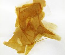
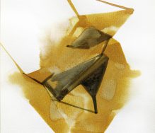
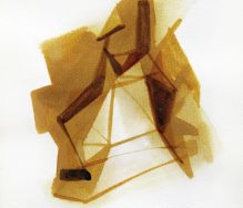

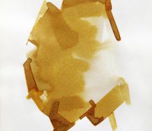


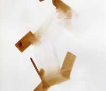

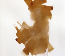

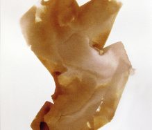


Iodine drawings, cotton paper. 24 x 32 cm / 29,7 x 42 cm

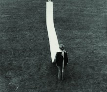
Franz Erhard Walther, 1964. Demonstrating the Elfmeterbahn (Penalty train)
Courtesy of Franz Erhard Walther Archive, Berlin; Fulda and Koch Oberhuber Wolff, Berlin
Photo by Timm Rautert
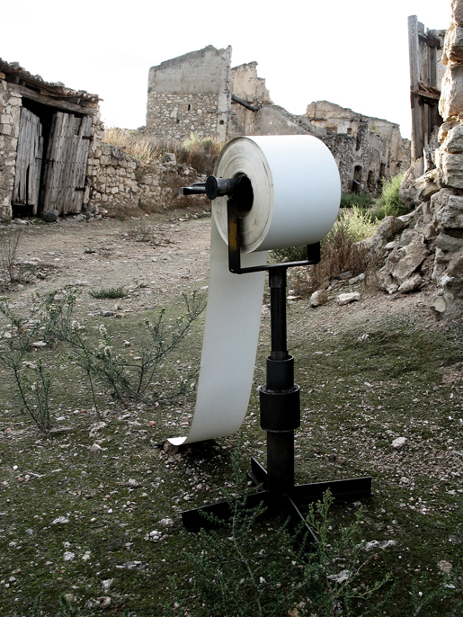
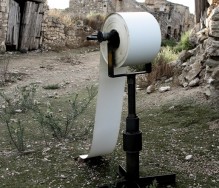
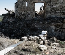
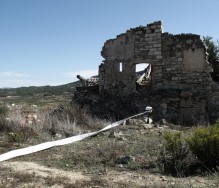
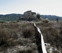
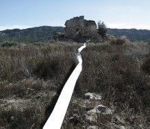
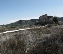

Tiralínies. Toni Giró. 2012.
Action developed in the old town of Corberad’Ebre, an important scene of the bloodiest battles Spanish Civil War in the framework of the project “Joan Brossa: Accions and territory”
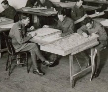
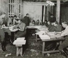
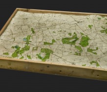
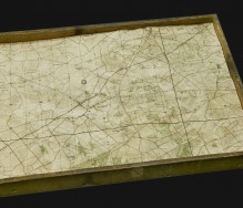
Relief maps made in 1919 in London. They were made in London by men who were still in England, waiting to be repatriated home.
The maps represent the area of Zonnebeke in Flanders field and were used to illustrate the battlefields of France and Belgium during the 1st World War. Apart from the strictly descriptive purposes the land battle, these maps were used to aid the war correspondents in the writing of articles on the exploits of Australian troops in Europe.
")
The Complete Book of Palmistry by Joyce Wilson, Bantam Books, 1971 (1982)
via: www.stoppingoffplace.blogspot.com.es/

By TAT_LAB
Els mercats cremen. El deute és tan gros que els diners ja no signifiquen. L’economia perd el nord. La bola es fa cada vegada més grossa. El sistema s’acaba. I el poble ha de prendre consciència que només ell pot ser el motor de la història.
Repartir, cooperar i decréixer.

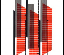
Design by Alvin Lusti


cinemetrics from fb on Vimeo.
Frederic Brodbeck’s bachelor graduation project
at the Royal Academy of Arts (KABK), Den Haag
the idea
cinemetrics is about measuring and visualizing movie data, in order to reveal the characteristics of films and to create a visual “fingerprint” for them. Information such as the editing structure, color, speech or motion are extracted, analyzed and transformed into graphic representations so that movies can be seen as a whole and easily interpreted or compared side by side.

(Source: nblbn, via acidadebranca)


Via: An ambitious project collapsing domain availability checker . . . .


Miwok string figure. Via: An ambitious projecte collapsing .


")


